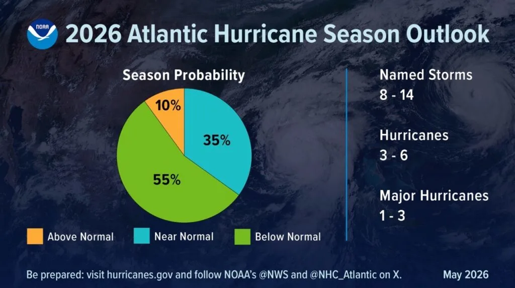
What's happening? The National Oceanic and Atmospheric Administration (NOAA) projected a "below normal" Atlantic hurricane season for 2026. The agency presented the forecast at a press conference, a few days before the season begins on June 1.
🌀 By the numbers:
8 to 14 named storms (winds of 39 mph or more)
3 to 6 hurricanes (winds of 74 mph or more)
1 to 3 major hurricanes, category 3 to 5 (winds of 111 mph or more)
Why does it matter? Preparing in advance is essential to surviving a hurricane, and Puerto Rico is at risk during the season, which runs from June 1 through Nov. 30.
There is a 55% probability that the Atlantic season will be below normal, a 35% probability that it will be near normal, and a 10% probability that it will be above normal, according to NOAA's forecast. Normal is 14 named storms and 7 hurricanes, 3 of them major.
"We have never been more prepared for hurricanes," said Ken Graham, director of the National Weather Service (NWS), referring to improvements in NOAA's models and observation systems, which this season incorporate artificial intelligence and drones.
A call not to let your guard down
Graham stressed that risk is not measured by category or by name, but by the impacts of each system.
He urged people not to dismiss an event for being "only" a category 1 or "only" a tropical storm, because size, forward speed and small variations in track change the impact. Even a small system, if it moves slowly and is large enough, can cause catastrophic flooding.
"That is why it is essential to review your hurricane preparedness plan now. It only takes one storm to make the season very bad," Graham said.
Why is the forecast pointing downward? The biggest factor is El Niño, a warming of the Pacific Ocean that occurs periodically and alters the climate across much of the world. NOAA estimates a 98% probability of El Niño conditions later in the season and an 80% probability that it will be moderate to strong.
El Niño changes what meteorologists call wind shear. In simple terms, that is when wind blows at different speeds or in different directions depending on altitude.
In the Atlantic, El Niño increases that shear. That makes it harder for the waves that come off Africa to develop into storms.
For a hurricane to form, the wind needs to be consistent from bottom to top, like a column growing straight up.
When there is a lot of shear, the upper-level wind pushes the top of the storm sideways and breaks it apart before it can organize.
The main risk: flooding
Graham was clear that most deaths do not come from wind.
Over the past 10 years, more than half of the deaths associated with these systems were caused by flooding.
Many occurred inland, and most happened inside vehicles.
Six inches of moving water is enough to knock a person down. Twelve inches can sweep away most cars.
Indirect deaths (downed power lines, contaminated water, gas leaks, improper generator use) tend to outnumber direct ones.
When facing a flooded road, NOAA's recommendation and motto is "turn around, don't drown" ("Turn around, don't drown").
Arthur
Bertha
Cristobal
Dolly
Edouard
Fay
Gonzalo
Hanna
Isaias
Josephine
Kyle
Leah
Marco
Nana
Omar
Paulette
Rene
Sally
Teddy
Vicky
Wilfred
Zoom in: new tools for better forecasts
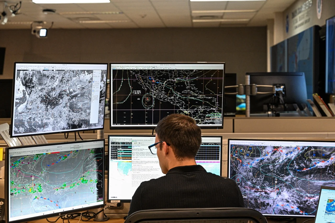
NOAA is introducing new tools this season to observe systems, predict them and issue timely warnings.
To track them better, add drones that fly directly into the storm, surface vehicles and submarine gliders that collect data where none could be gathered before. Blackbird Swift drones are being used operationally for the first time; in tests they improved intensity forecast accuracy by about 10%.
To predict them, the agency is debuting artificial intelligence-based models, including one developed with Google DeepMind that was tested experimentally last season.
To improve warnings, the National Hurricane Center updated its forecast cone, which now includes watches and warnings inland, precisely where a large share of flood deaths occur. Added to that is the Urban Rain Rate Dashboard, a tool that anticipates flood danger in 60 cities.
How to prepare starting now
Officials repeated that preparation happens ahead of time, before lines form:
🎒 Build your kit with days, ideally a week, of non-perishable food, water and medicine.
♿️ Account for special needs, such as dialysis or medications that require refrigeration.
🦮 Include pets in your plan.
📻 Keep a radio, a flashlight and a NOAA weather radio on hand to receive alerts if the power goes out.
🚨 Define your evacuation plan and check whether you live in a flood zone.
⚠️ Use generators outside and away from windows.
This content was translated with the assistance of Artificial Intelligence (AI).