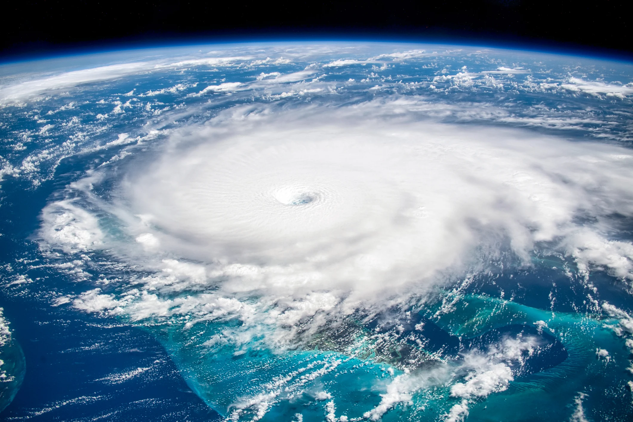
When Beryl became, in July, the earliest Category 5 hurricane on record in the Atlantic, it seemed that forecasts for an extremely active 2024 hurricane season were going to come true.
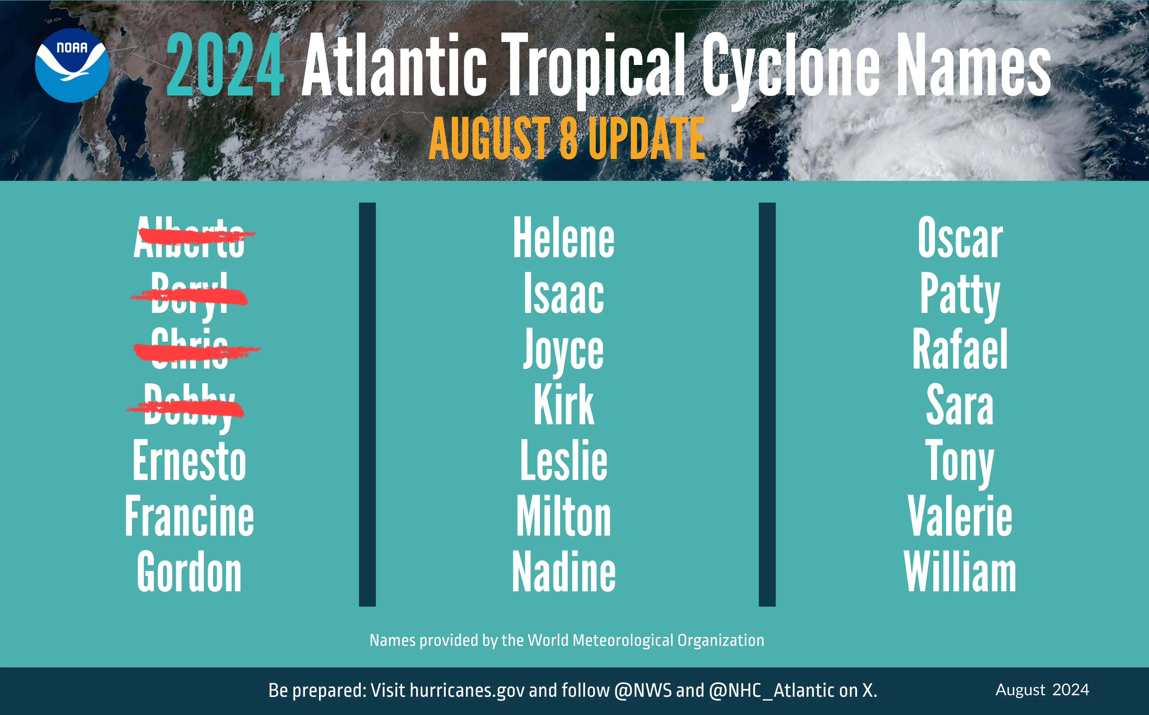
The Atlantic, however, has been quieter than expected. So far, seven named tropical storms have formed in 2024. The National Oceanic and Atmospheric Administration (NOAA) forecast in May that there would be between 17 and 25 cyclones.
"The season started out looking like it was going to be very active," said Ángel Adames Corraliza, a Puerto Rican professor of tropical meteorology at the University of Wisconsin. "But the opposite has happened. We haven't seen an intense hurricane form like Beryl, and what we've seen is more of a silence."
— National Weather Service (@NWS) May 23, 2024
So what happened to the forecasts of a historic hurricane season? And how will the outcome of this season affect future predictions?
Although the answer is not immediately clear, according to Adames Corraliza, there is tentative evidence that atmospheric factors known as teleconnections, the interactions between weather phenomena in distant regions, will become harder to predict in the future. One example of a teleconnection is how El Niño, a phenomenon related to the warming of the Pacific Ocean, affects winds in the Caribbean.
"That could be a factor that will possibly make seasonal forecasting a little more difficult," he said.
How are hurricanes predicted today?
Researchers analyze factors such as ocean temperatures, winds and the state of El Niño to forecast the hurricane season, Adames Corraliza explained.
According to Colorado State University, researcher Bill Gray documented in 1984 that Atlantic hurricane activity responded to a variety of atmospheric and oceanic factors. Hurricanes are more likely to develop, for example, when there are high sea surface temperatures, humid air and light wind shear.
Why aren't there storms?
There are several factors not accounted for in forecasts that could affect activity in the current hurricane season, Adames Corraliza pointed out.
Tropical waves, for example, form on the African continent during the monsoon season, a seasonal wind that produces rainfall. This year, however, the monsoon has shifted northward, to a drier region.
"Being farther north, they are emerging closer to this subtropical region, which tends to be drier," Adames Corraliza explained.
"There isn't enough moisture to sustain the tropical wave, and the wave dissipates."
Rising temperatures in the upper layers of the atmosphere are another factor affecting storm development. According to Adames Corraliza, this creates more stable conditions. The formation of thunderstorms, however, requires an unstable atmosphere.
"When temperatures in the upper atmosphere rise more than in the lower atmosphere, it tends to stabilize the atmosphere, and that may be contributing to the reduction in cyclonic activity. That is associated with the effects of El Niño. El Niño is dissipating, but those temperatures take two or three months to decrease," he said.
What is the new hurricane season forecast?
In August, NOAA updated its forecast for the hurricane season, which ends Nov. 30. The agency anticipates 17 to 24 named storms, of which eight to 13 could become hurricanes, a forecast nearly identical to the one it published in May.
According to NOAA, the possibility of La Niña developing in the coming months could weaken wind shear over the Atlantic basin, allowing storms to develop and intensify.
Meanwhile, researchers at Colorado State University maintained in August their forecast of an extremely active Atlantic hurricane season, with 23 named storms.
This content was translated with the assistance of Artificial Intelligence (AI).