The best hikes always include good conversation. But if you don't have the chance to bring someone along, a beautiful view may be all you need.
Here are 10 routes that will likely make your next hike a memorable experience.
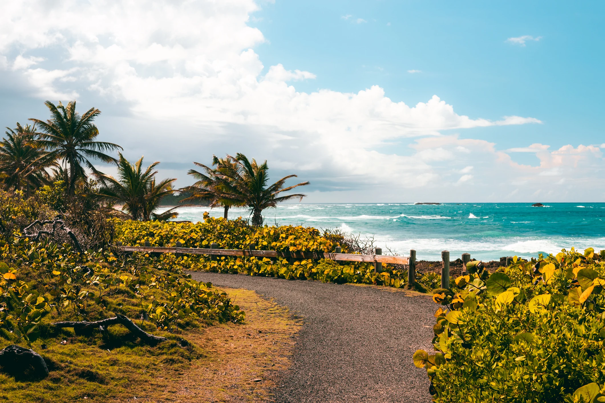
Walking to Playa Colorá, in Fajardo, takes about 15 to 20 minutes from the nearby Seven Seas beach. It is a protected bay on the Atlantic. The beach is wide and also has an isolated pool on the western side. There are also plenty of opportunities for reef diving among many corals.
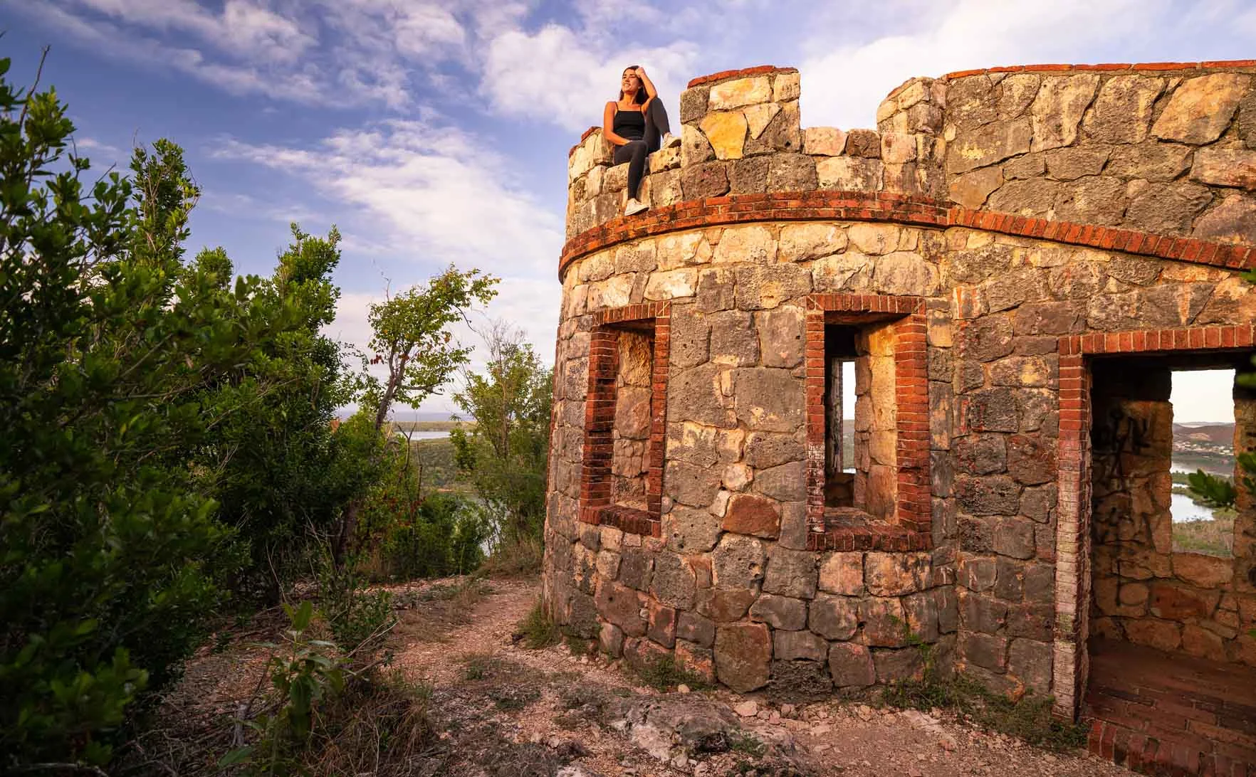
The hike to the ruins of Fuerte Caprón runs through the Bosque Seco de Guánica, with two options to choose from: a 20-minute route or one of nearly an hour. The path is mostly uphill, so you may encounter the intense heat that characterizes this area.
Signs will guide you to the ruins, and once there you can climb the stairs and take in the beautiful view of Bahía de Guánica.
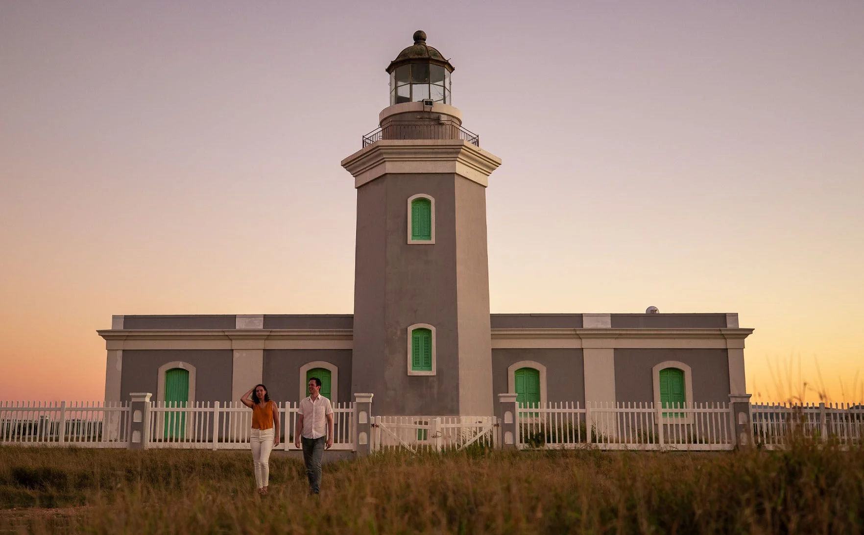
Located in the Llanos Costa sector, Faro Los Morillos was built in 1877 and took six years to complete. It was designed by Spanish engineers Manuel Maese Peña, E. Gadea and M. Sainz, and provided housing for two lighthouse keepers and their respective families.
The lighthouse is part of Puerto Rico's maritime lighting system and, in 1981, was added to the National Register of Historic Places by the U.S. Department of the Interior.
Parque Nacional Cerro Gordo, also known as Balneario Javier Calderón, has a little of everything for your hike: well-marked trails at different difficulty levels, an opportunity to explore the area's biodiversity, and lookout points with beautiful views of the Atlantic Ocean.
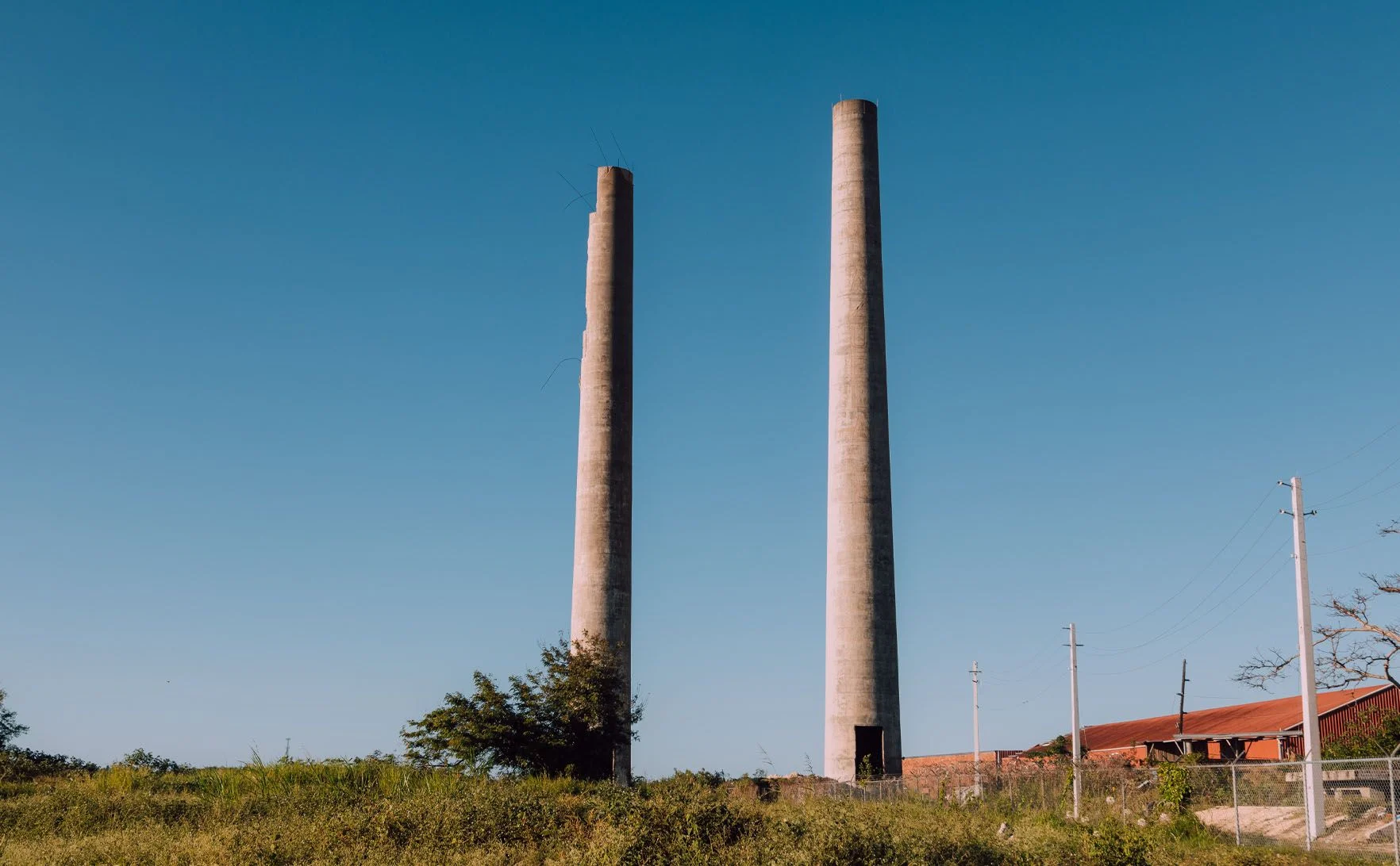
La Central Plazuela dates to the era when Puerto Rico dominated the sugar industry. According to historian José Luis Martínez Domínguez, it was Cornelio Kortright, from Santa Cruz and of English origin, who established it in 1841, and it is said he named it that way because "it looked like a large small plaza."
Today, some of these buildings remain intact, so you can admire a piece of history as you walk through the grounds.
The perfect spot for a photo. La Zanja is a natural pool formed "when Atlantic waves crash against the rocks and fill the long ditch-shaped crevice," according to Discover Puerto Rico.
The walk from Seven Seas to La Zanja takes between 20 and 30 minutes, and it is a secluded spot you can reach by a less-traveled path.
To take in the beauty of Survivor Beach, you will first need to walk between 30 and 40 minutes from Surfer's Beach until you reach the end of the road. Although the stretch is short, getting to Survivor Beach can present a bit of a challenge.
El Paseo Lineal Costero in Isabela spans more than 4 miles and is a great outdoor experience to explore with your group. With the sea as a backdrop, you can not only walk it but also ride it by bike.
You can stop by Pedalea Isabela, a bike rental shop and café bar, or rent a scooter at Ride PR, right across from Middles beach.
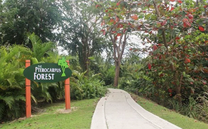
With more than 44 plant species, 52 animal species and 18 points of interest, Bosque Pterocarpus awaits you for a full day of exploration. Its landscape extends across about 51 acres of swamp forest.
It has safe trails throughout the forest. The Paseo Elevado is approximately 1.2km long and runs through the interior of the forest. Tours of the site last approximately 45 minutes. To plan your visit, visit the official website.
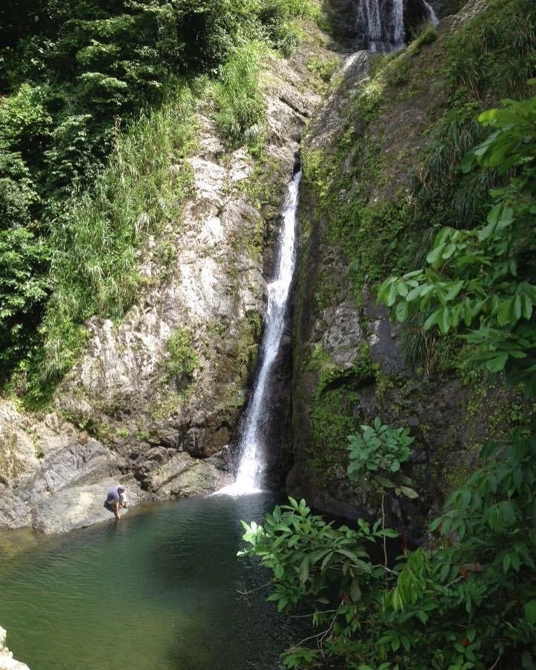
Driving up the scenic highway, in Bosque Estatal Toro Negro, you will find Cerro Punta, one of the highest peaks in Puerto Rico. At 1,338 meters (4,390 feet), the mountain is shared between the towns of Ponce and Jayuya and is part of la Cordillera mountain range. The round-trip hike takes about an hour, depending on your pace. On clear days, you can take in some of the best panoramic views on the Island. A sight that will leave you breathless.
Cerro Mime is a standout among local trails. Its Taíno name refers to the many insects you will encounter along the way. The ascent takes about 20 to 30 minutes along a steep path, but the effort pays off at the summit, where clouds and blue sky await in a display that makes the whole adventure worthwhile.
This content was translated with the assistance of Artificial Intelligence (AI).